
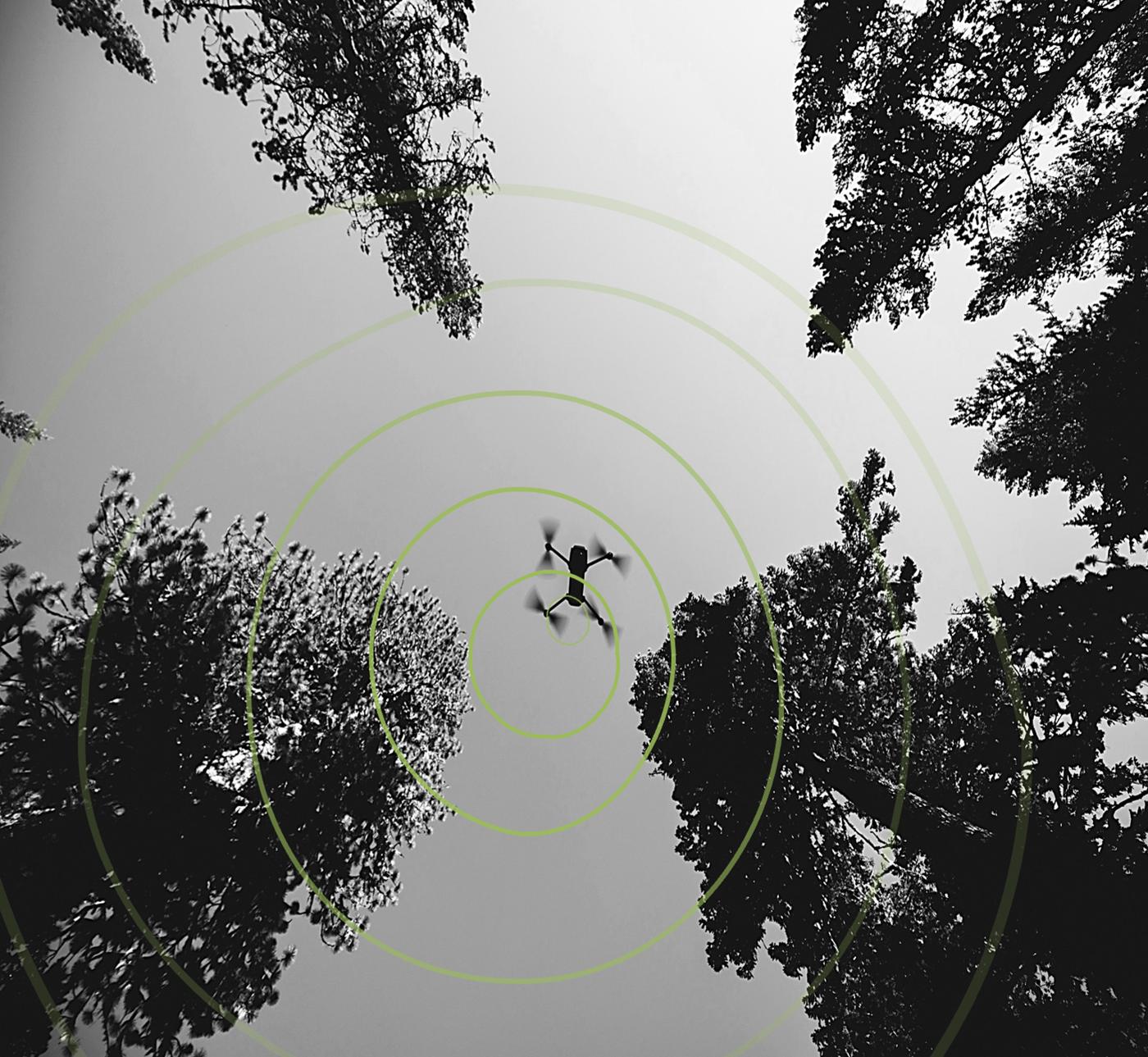
Let's map your site.
Drone data for construction, agriculture, mining and custom projects on the Sunshine Coast and beyond: flown under CASA rules, field-ready and built for Australian conditions.
How a job works
You don't need to understand photogrammetry or coordinate systems. You get the answer, and the evidence behind it.
- Free consultation
We talk through the site, the milestones and the information you need, before any agreement.
- Plan & fly
Risk-assessed flights on an RTK workflow, one-off or weekly and monthly to match the build.
- Process & check
Maps and models are checked against independent checkpoints, and the result goes in the report.
- Deliver
Files organised for QGIS, CloudCompare or your engineering software. Standard turnaround is two to three business days; a 12-hour urgent turnaround is available at a premium rate.
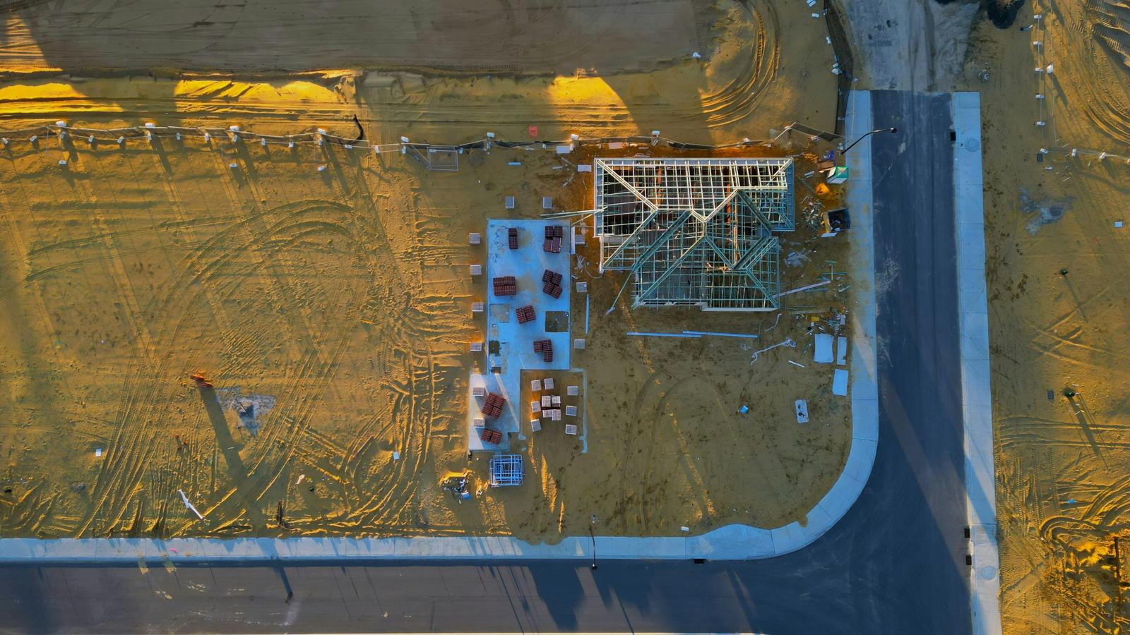
Construction site mapping & progress monitoring
Aerial visibility to keep projects on track.
Drone imagery on an RTK workflow to monitor progress, check earthworks against design and keep a record of the build. Weekly or fortnightly flights build a visual history from start to finish, and catch problems like alignment errors early.
- Site progress and cut/fill against design
- Stockpile volumes and terrain models
- Pre-construction baselines
- Branded progress reports
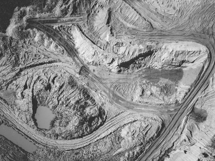
Mining site monitoring & change detection
Coverage of the whole pit, without people on the face.
RGB mapping on an RTK workflow across excavation zones, including areas that are hazardous or hard to reach. Repeat flights compare surfaces over time, so you can see what moved and how much.
- Orthophotos and 3D models of surface condition
- Change between captures across excavation zones
- Stockpile volumes with the base and method stated
- Repeat flights for time-series monitoring
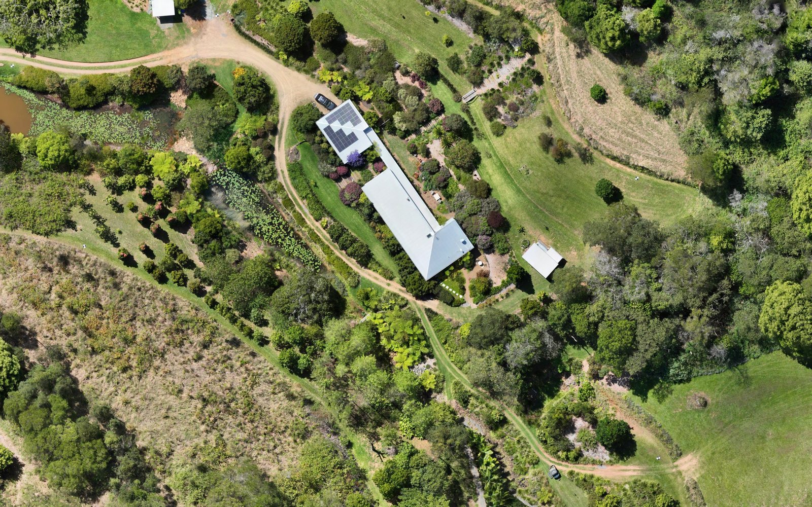
Agricultural mapping & crop insights
Know your land, season by season.
High-resolution imagery across paddocks, orchards and mixed terrain, turned into orthophotos and 3D terrain models you can act on. Suits properties from 20 to 2,000 acres.
We fly RGB cameras, so our vegetation maps are visible-band indices and are labelled that way; they are not NDVI. If you need true NDVI or thermal data, tell us and we'll advise the right sensor.
- Visible-band crop vigour mapping
- Drainage and terrain modelling
- Repeat flights for seasonal tracking
- Fast turnaround from capture to insight
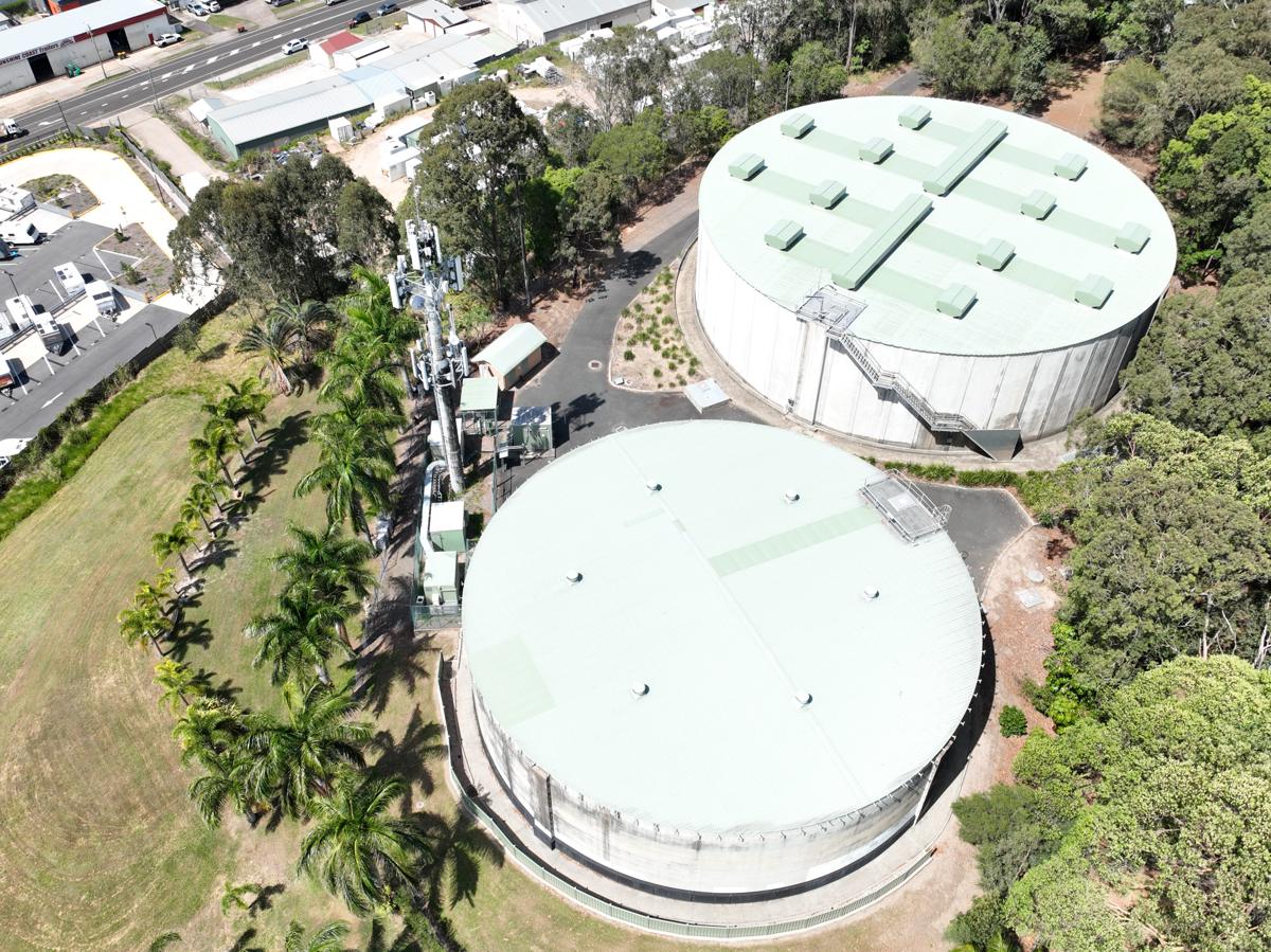
Bespoke projects & specialist mapping
A bird's-eye view for unusual sites.
Heritage sites, environmental zones, assets and remote terrain: custom flight plans and outputs that open in GIS and planning tools. Regular inspection imagery builds a visual timeline for reporting and safety.
- Custom flight plans and deliverables
- 3D terrain and surface models
- Asset inspection imagery
- GIS-ready outputs
What we deliver
High-resolution, geo-referenced site imagery for planning, measuring and visual checks.
Surface (DSM) and bare-earth (DTM) models, contours and surfaces for design and earthworks.
Dense point clouds and textured 3D meshes for measuring and modelling.
Cut, fill and stockpile volumes, with the base and method stated on the report.
Repeat flights on the same control show what changed between visits.
Every report states the checkpoint result. If something wasn't checked, it says so. How we report accuracy →
Our mapping is for planning, measuring and monitoring. It is not a cadastral or boundary survey and isn't for set-out; where you need those, engage a registered surveyor.