
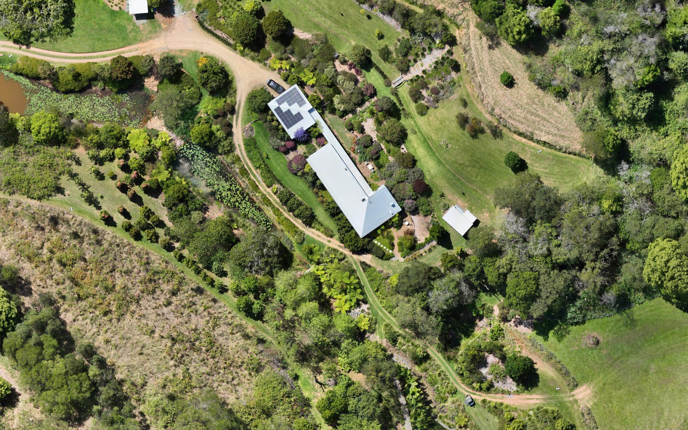
Drone mapping Noosa & hinterland
From Tewantin and Noosaville to the acreage around Cooroy, Pomona and Kin Kin, the Noosa hinterland is steep, green and hard to see from the ground. Mapping from above shows the whole property at once.
Including: Noosa Heads, Noosaville, Tewantin, Doonan, Eumundi, Cooroy, Pomona, Cooran, Kin Kin.
Steep, wooded and always growing
Hinterland properties mix house sites, orchards, bushland, gullies and dams on slopes that change quickly underfoot. Dense subtropical vegetation hides the ground, so a terrain model there is the top of the canopy unless the ground is open, and we say which is which. Repeat orthophotos are the simplest way to watch regrowth, clearing and plantings over time.
- Whole-property orthophotos and terrain models
- Orchard and planting records
- Dams, drainage lines and access tracks
- Repeat captures to track change through the seasons
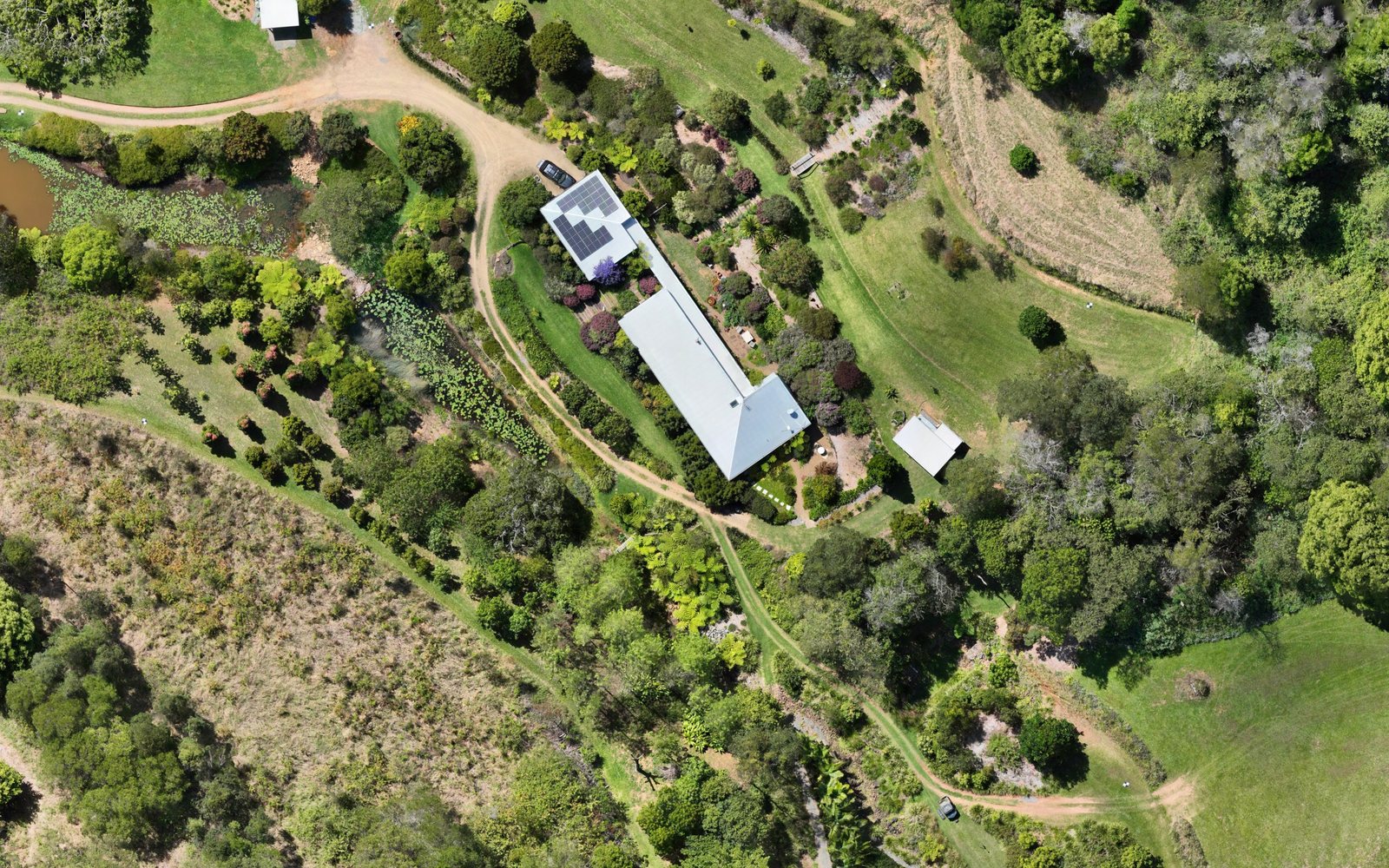
Cooroy House
Repeat orthophotos of a hinterland property near Cooroy, flown on the same plan each visit so you can compare any two dates.
Most of the hinterland is well away from major airports, but we still check the airspace for every site before quoting.
Hinterland slopes catch cloud, fog and showers when the coast is clear, so we watch the forecast closely and confirm the day before.
Every report states the result at independent checkpoints. How we report accuracy →
Questions about Noosa and the hinterland
Can you map through the trees?
A camera can't see the ground under dense canopy. On open ground the terrain model is the ground; under trees it's the top of the canopy, and the report says so.
Can you show how my property has changed?
Yes. We fly the same plan each visit so the maps line up, and you can compare any two dates side by side.
More answers in our FAQ. Our mapping is for planning, measuring and monitoring. It is not a cadastral or boundary survey and isn't for set-out; where you need those, engage a registered surveyor.