

Big country. Mapped properly.
MÒR is Scottish Gaelic for “big” or “great”: a fitting name for a company that maps large terrain and turns it into data people can use.
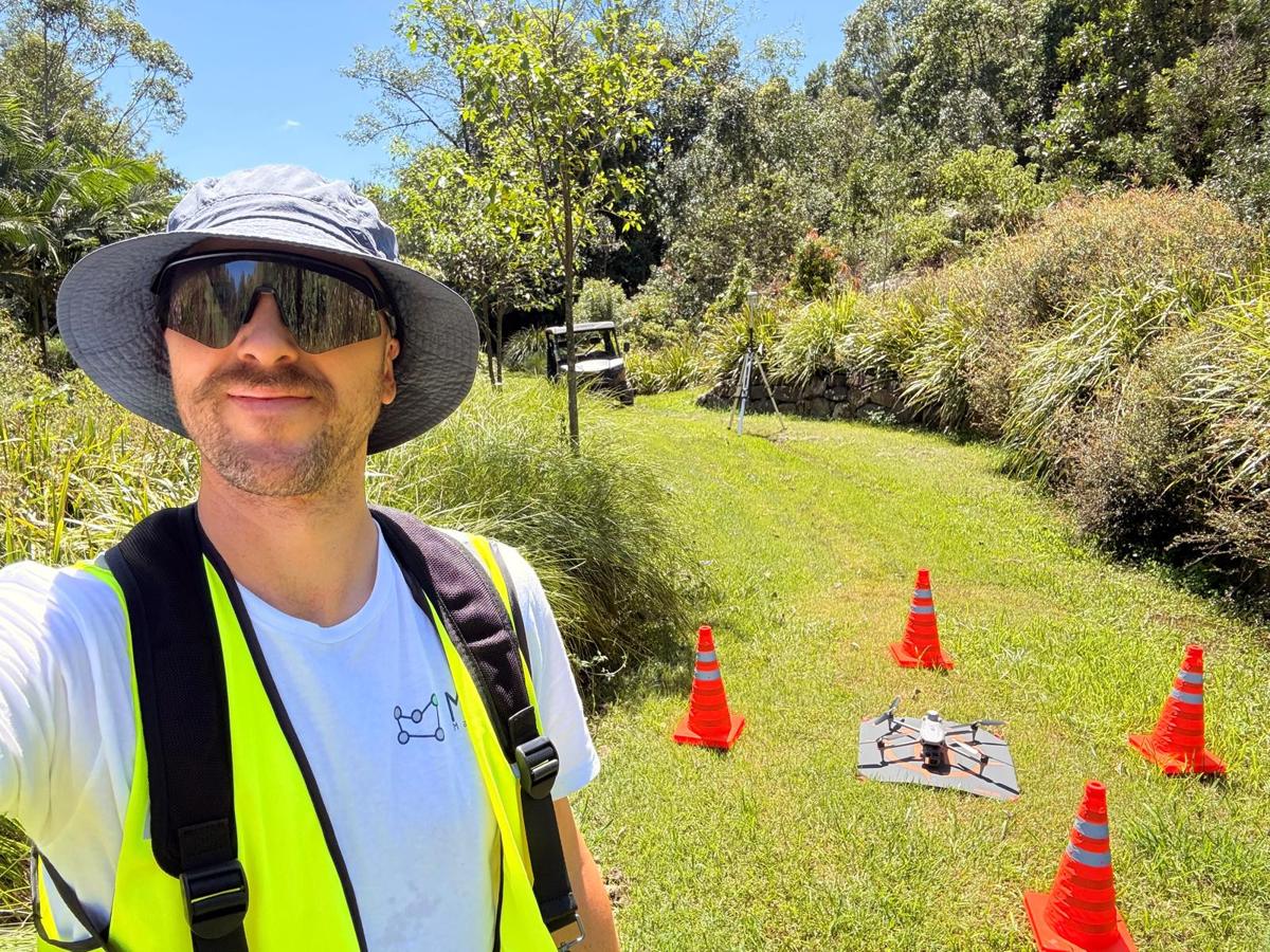
Jonathan, Director
MÒR Mapping was founded by Jonathan, a Sunshine Coast local with Scottish heritage and a mechanical engineering background in design, manufacturing and systems integration. Before MÒR, Jonathan worked in advanced prototyping and production.
Today his work covers mapping, terrain modelling and spatial analysis for construction, agriculture, mining and custom projects, with a focus on accuracy, usability and getting the detail right.
“I built this company with a passion for technology and what it can do for real people and projects. Many don't yet see the value in their data, and my goal is to make this technology more accessible, affordable and useful. With an engineering background and hands-on delivery, MÒR Mapping gives you practical data to make better decisions.”
Jonathan, Director
Make measured data easy to access, easy to understand and trustworthy enough to support real decisions.
Our values: CASIQ
Five values shape how we plan, capture, process and report.
We approach every site with fresh questions and look for what the data can tell us.
We fit the workflow to each site, brief and terrain.
We plan every flight to protect people, property and the environment.
Deliverables that support clearer decisions and smarter land use.
Accuracy is a discipline, from flight planning to final export, and we measure it.

Licensed, insured and built for reliable results on every terrain.
MÒR Mapping holds a CASA Remote Operator Certificate (CASA.ReOC.9785) for commercial drone operations, flown by licensed remote pilots. Our flight procedures, capture and data handling follow our operations manual.
We fly a DJI Matrice 4 Enterprise with RTK positioning from a DJI D-RTK 3 base station or the AusCORS network. Ground control and independent checkpoints are set out and measured with RTK GNSS.
We carry public liability and professional indemnity insurance, and are a registered supplier on ICN Gateway.