
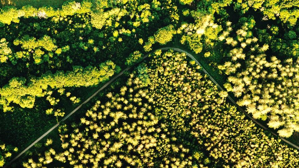
Aerial project management
Mapping, modelling and measurement from residential builds to large developments: terrain assessment, asset records, development planning and change monitoring.
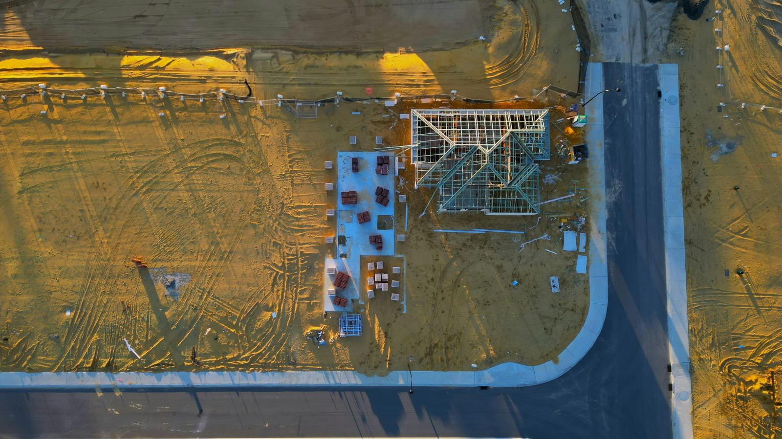
A running record of your site
Every project starts with a free consultation to agree the milestones and the areas that need checking. Flights then run weekly or monthly to match the pace of construction, on an RTK workflow, building a continuous digital record of the site.
Regular progress mapping catches problems early. On one routine update, the orthophoto showed a concrete section about 200 mm out of alignment, and the client fixed it before it turned into major rework.
Through a build we deliver textured 3D meshes for designers, dense point clouds for engineers, and models you can measure from your office.
Cooroy House: a year of change from the air
Four maps delivered between December 2025 and September 2026. Here are the first and the latest, lined up: drag the line to see what changed.


December 2025 (left) and September 2026 (right). Drag the line to compare.
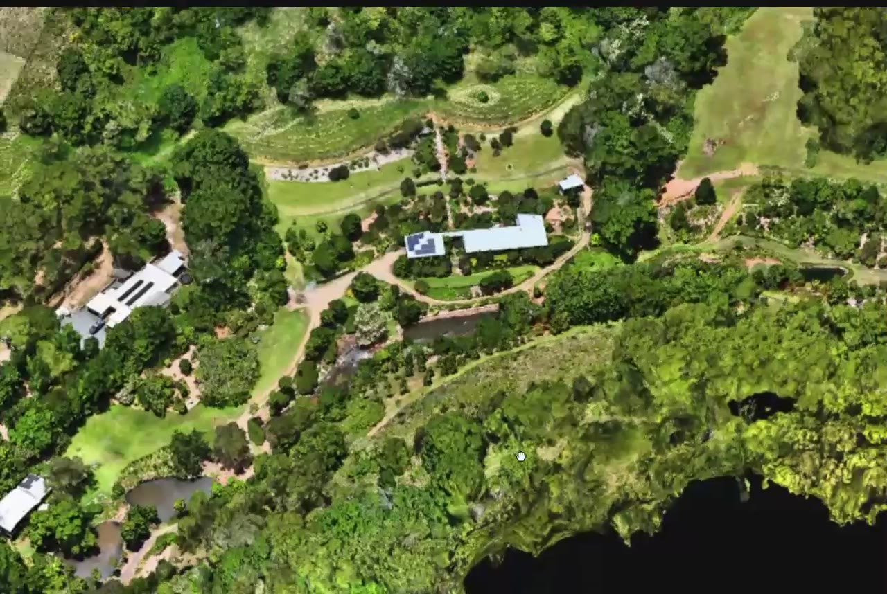
Cooroy House in 3D
A 30-second flyover of the full-detail 3D model, built from our drone photos of the property.
Watch the 3D flyoverSingle block construction progress
Slab, frame and roof from the air in one viewer. Step through the stages, wipe between any two, and measure distances and areas on the imagery.
Capabilities
High-resolution, true-to-scale site maps.
Elevation, drainage and earthworks progress.
Distances, heights, volumes and areas.
Regular flights through the build.
A baseline before work starts.
A single capture when that's all you need.
Outputs open in QGIS and CloudCompare, so you don't need specialist software. Our mapping is for planning, measuring and monitoring. It is not a cadastral or boundary survey and isn't for set-out; where you need those, engage a registered surveyor.