
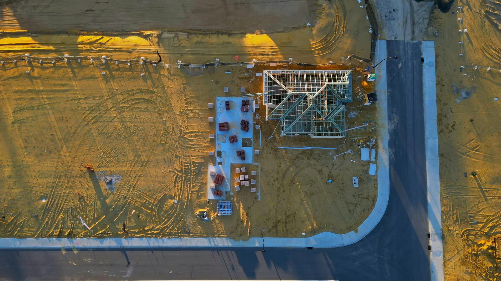
Drone mapping Brisbane
We travel south from the Sunshine Coast for Brisbane jobs, mainly construction progress, earthworks and stockpile volumes for builders and civil contractors.
Airspace comes first
Much of Brisbane sits under controlled airspace around Brisbane Airport and Archerfield, so a Brisbane job starts with an airspace check rather than a flight plan. Some sites need an approval before we can fly, and a few can't be flown at the height a mapping job needs. We find that out before quoting, not on the day.
- Construction progress and as-delivered records
- Earthworks against design
- Stockpile and cut/fill volumes
- Repeat captures on the same control
Brisbane Airport and Archerfield both have controlled airspace over large parts of the city. We check every site and tell you before quoting what it needs.
We confirm the weather the day before, as for any job, and reschedule rather than fly in conditions that would affect the result.
Every report states the result at independent checkpoints. How we report accuracy →
Questions about Brisbane
Do you charge travel to Brisbane?
There's no travel charge within 30 km of the Brisbane CBD. Further out, travel is quoted up front with the job, so there are no surprises.
How much notice do you need?
It depends on the airspace. A site that needs an approval takes longer to set up, so let us know as early as you can.
More answers in our FAQ. Our mapping is for planning, measuring and monitoring. It is not a cadastral or boundary survey and isn't for set-out; where you need those, engage a registered surveyor.