Land & agriculture
“Paddock insight”
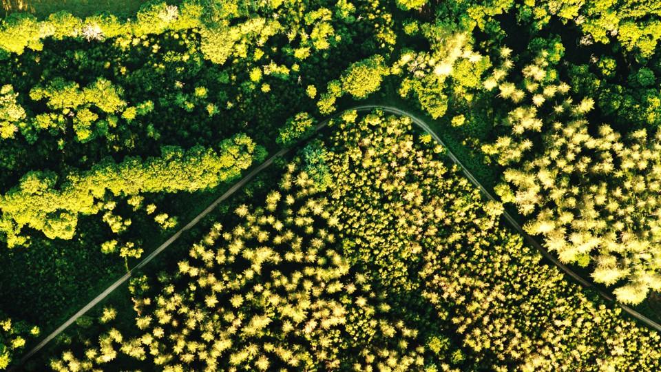
Paddock, terrain and drainage mapping, with visible-band crop vigour maps, to support irrigation and land management.
Read more →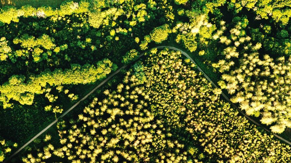
At MÒR Mapping we turn drone capture into maps, models and measurements that save time, cut cost and support better decisions, for agriculture, construction, mining and beyond. Every flight is planned with purpose, and every report states how accurate it is.
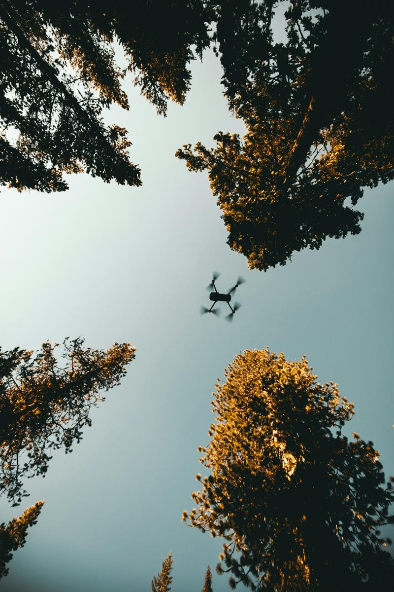
Out in the field with MÒR Mapping: low-impact, cost-effective aerial capture built for smarter land use. Every flight is planned with purpose and delivers high-resolution insight without the footprint.
Paddock, terrain and drainage mapping, with visible-band crop vigour maps, to support irrigation and land management.
Read more →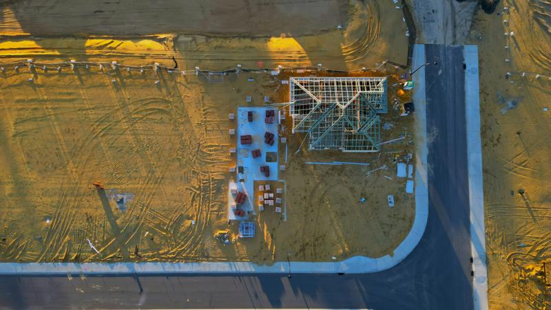
Orthophotos, 3D models and volumes for site planning, progress checks and project records.
Read more →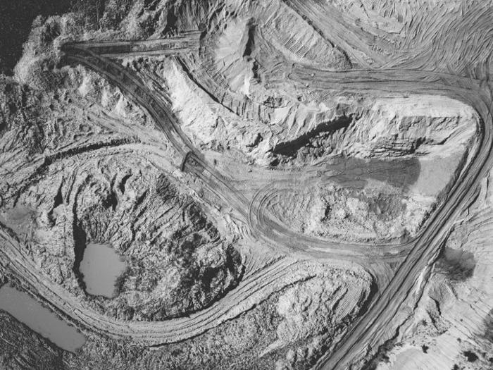
Terrain models and stockpile volumes, with the base and method stated, to plan extraction and keep people off the face.
Read more →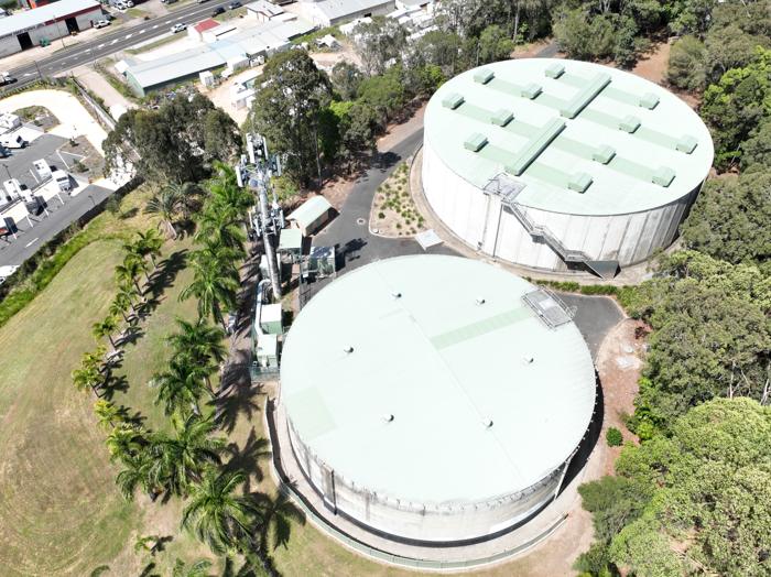
Mapping and inspection imagery for unusual sites, assets and one-off projects.
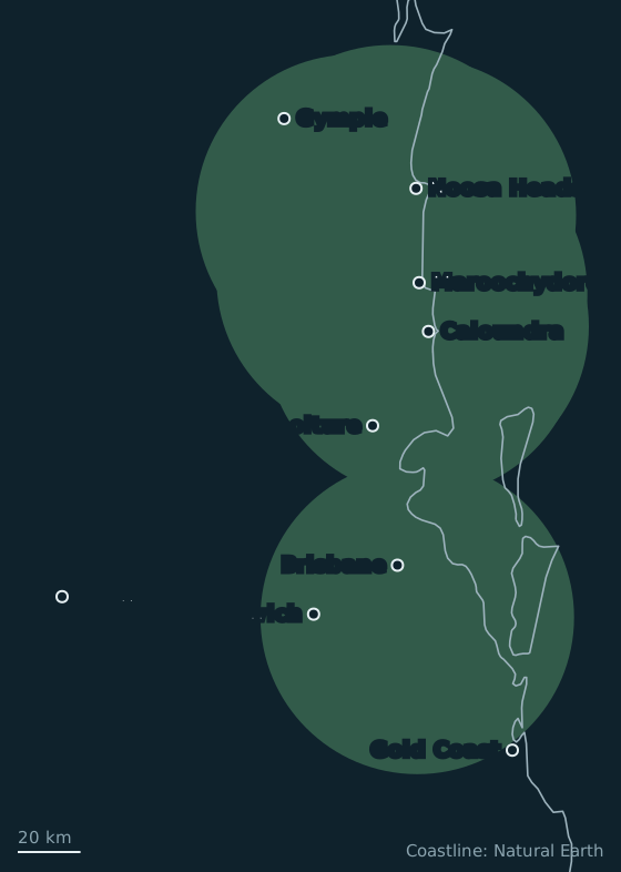
Read more →From our flight records, updated 13 Oct 2026. Exact client sites are never published. Areas we cover →
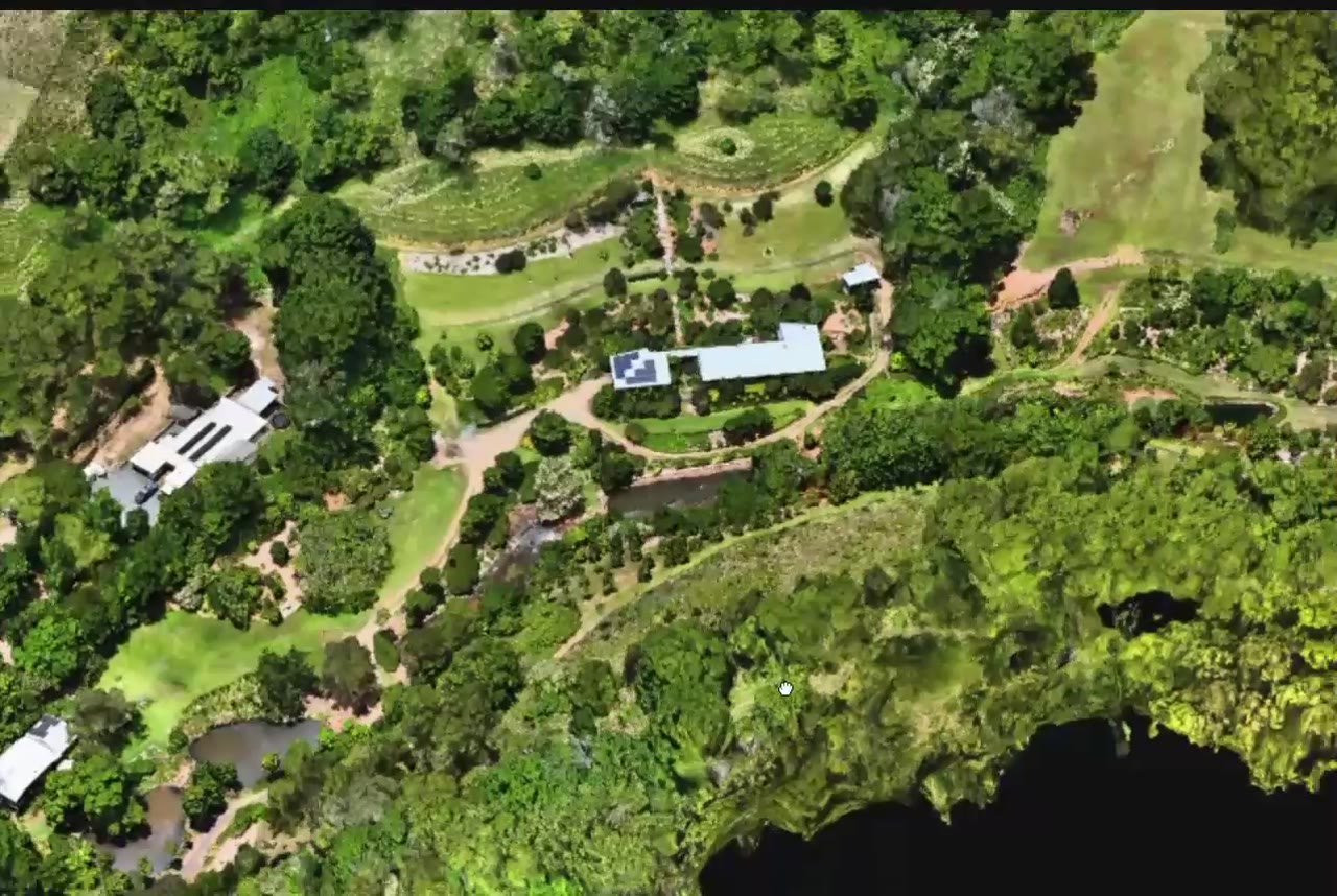
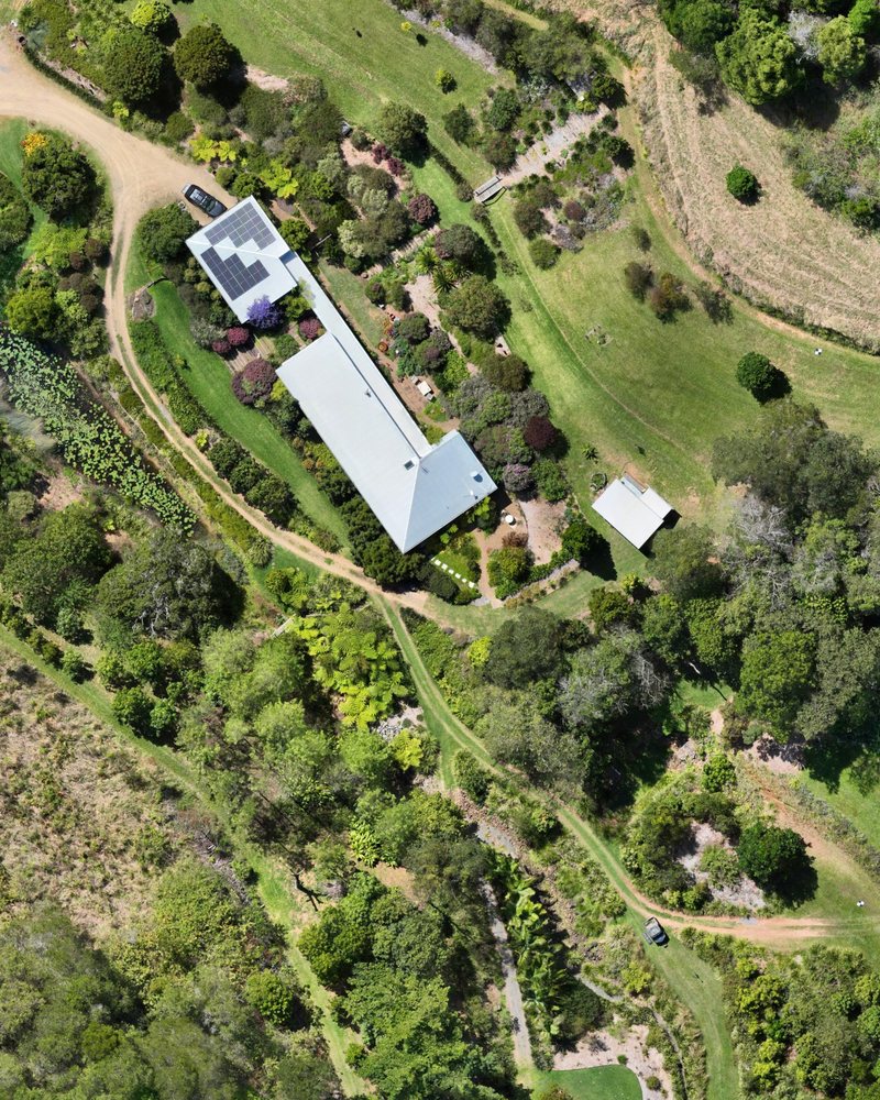
Watch a flyover of a 3D model built from our drone photos of a hinterland property near Cooroy.
Watch the 3D flyover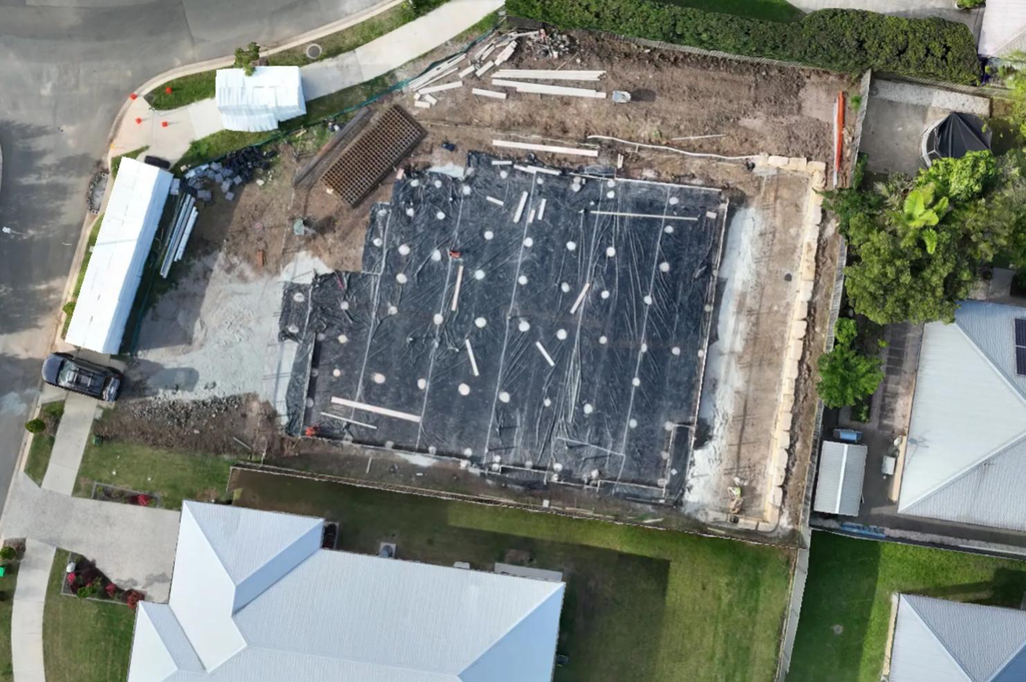
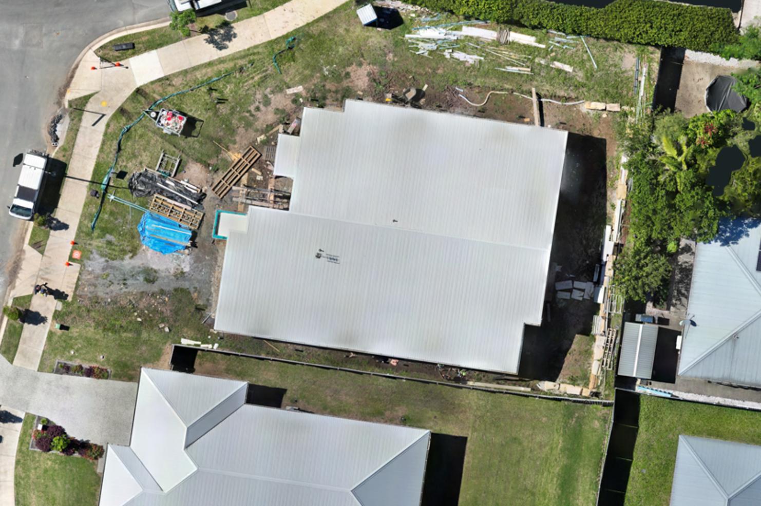
Drag the handle to compare two captures of the same site. Repeat flights on the same control show what changed between visits.
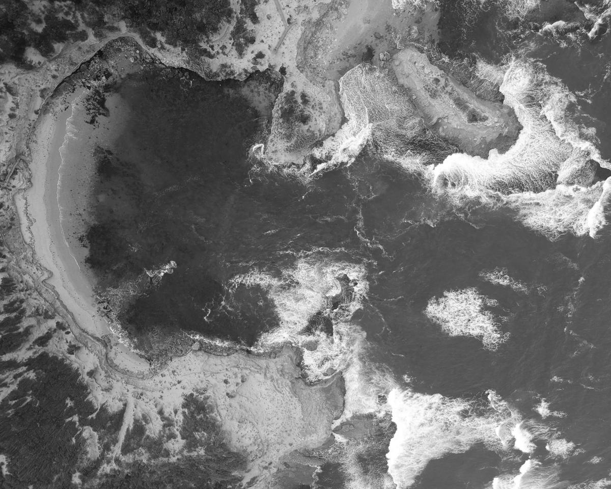
A snapshot of real sites and surfaces we map across the Sunshine Coast.
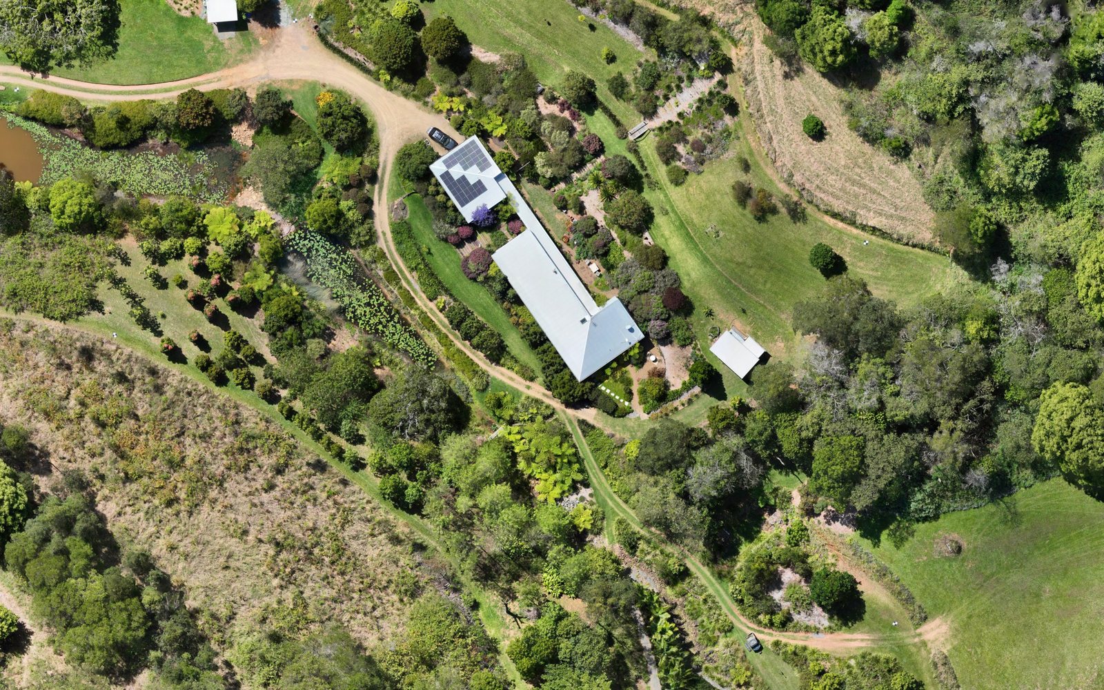
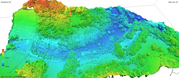
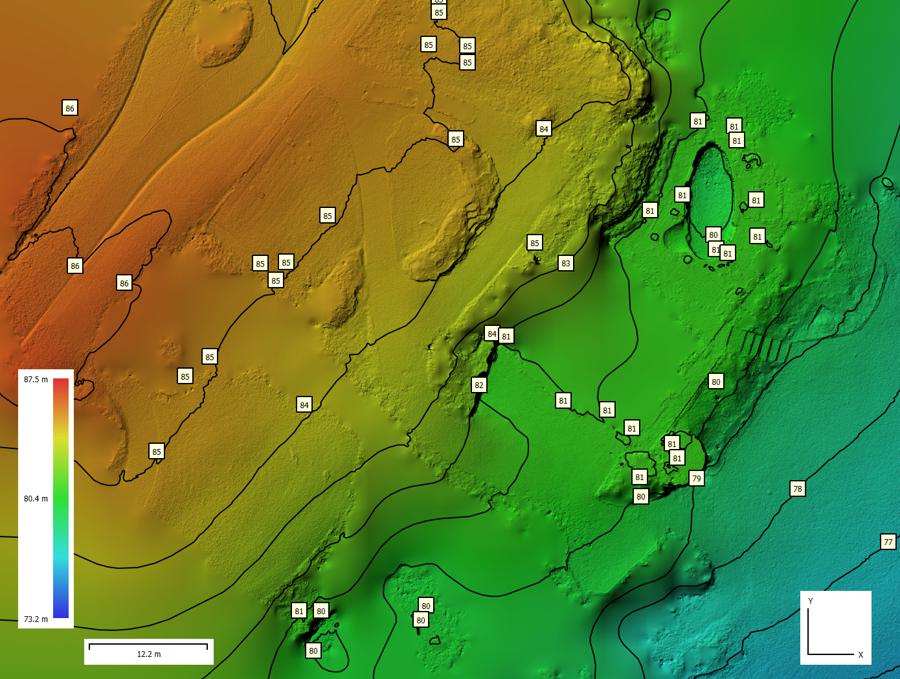
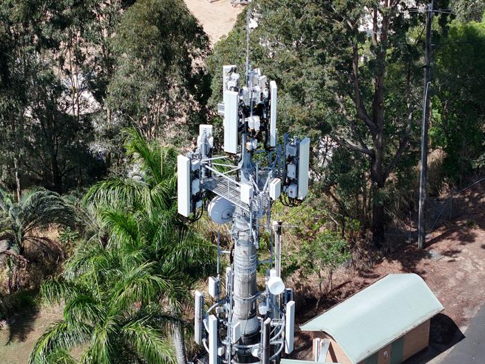
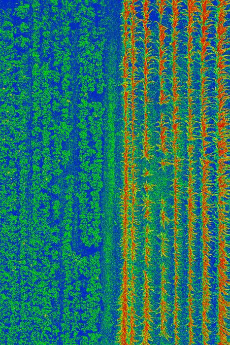
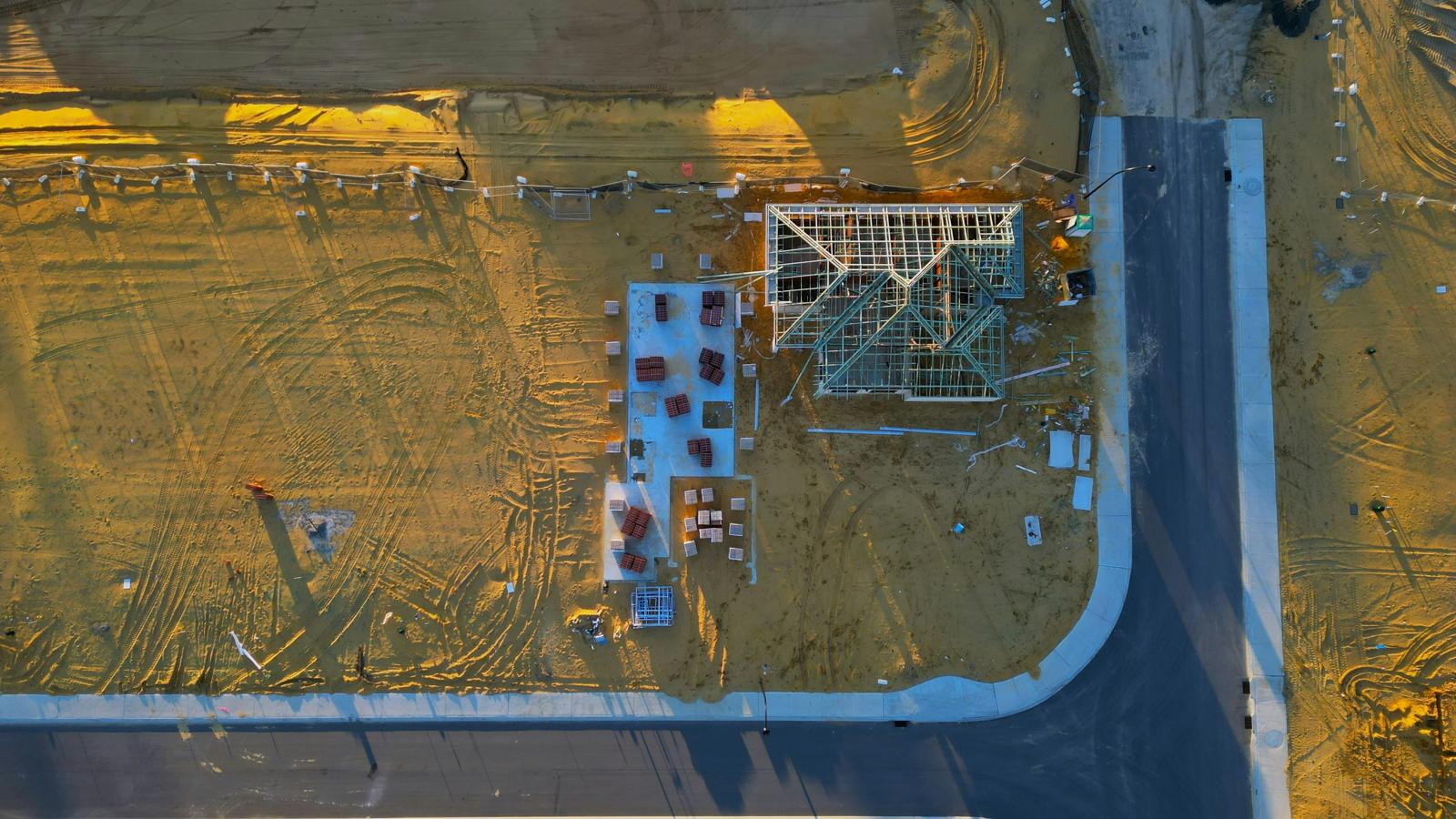
Photos from MÒR Mapping projects.
MÒR Mapping holds CASA ReOC CASA.ReOC.9785 and flies with licensed remote pilots. We carry public liability and professional indemnity insurance. Safety briefings, risk assessments and weather checks happen before every flight.
Independent checkpoints are compared with every map, and the result is printed in the report. If something wasn't checked, the report says so.
Maps and 3D models are delivered through a password-protected link.
Based on the Sunshine Coast, working across South East Queensland.
Our mapping is for planning, measuring and monitoring. It is not a cadastral or boundary survey and isn't for set-out; where you need those, engage a registered surveyor.
Download our 2026 brochure for the full picture of how we work.
Download the brochure