
Rising fuel costs are changing how projects stay on track
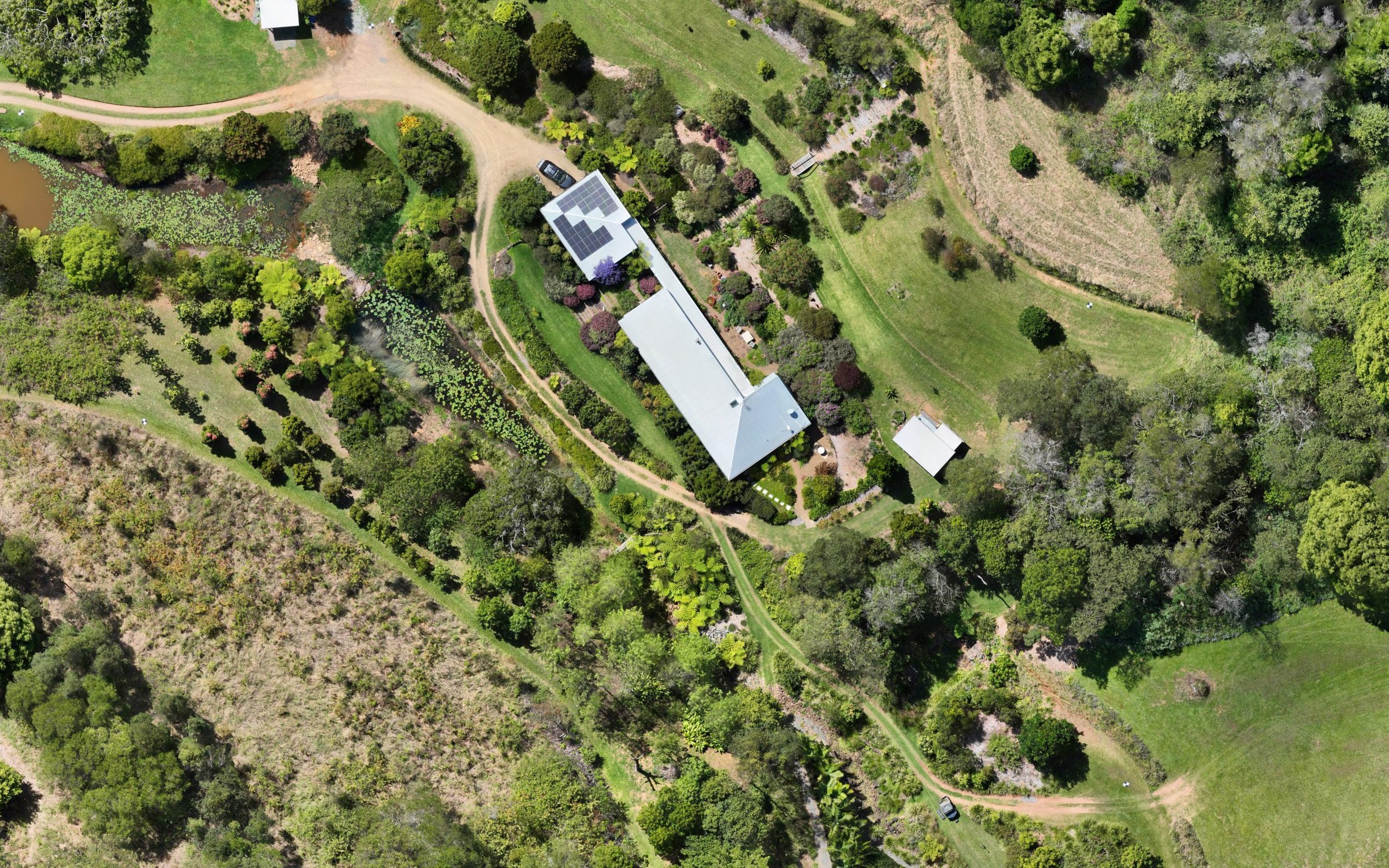
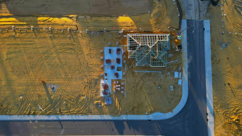
Higher fuel prices make routine site inspections more expensive. Developers and civil contractors are turning to aerial mapping, which captures the whole site in one flight and delivers orthophotos and elevation models without repeated trips.
See our services →